

10-12
July
Conference Dates
2026
10
June
Registration Deadline
2026
1
June
Notification Of Acceptance
2026
1
May
Full Paper Submission Deadline
2026
About RSMG 2026
Remote sensing and mapping technology is a rapidly growing field, encompassing the latest advancements in computer science, communication, earth science, biology, and other disciplines. This technology has played an increasingly important role in the development of the national economy, particularly in earth system science, resource and environmental science, as well as agriculture, forestry, geology, hydrology, mapping and other related sciences. The integration of remote sensing with geographic information system (GIS) technology and global positioning systems (GPS) has brought about significant changes in the scope, content, nature and methods of earth science research.
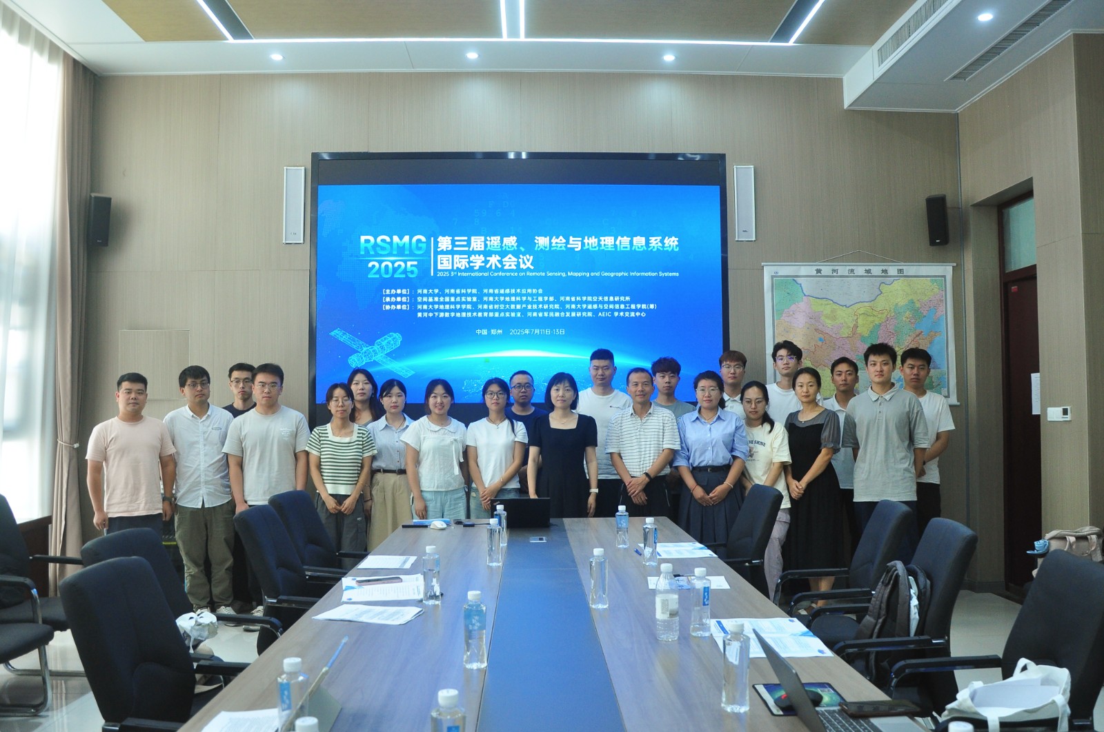
2026 4th International Conference on Remote Sensing, Mapping and Geographic Information Systems (RSMG 2026) will be held in Xi'an, China on July 10-12, 2026. The conference aims to provide an authoritative international platform for researchers to exchange ideas and promote academic exchanges among scholars in related fields. It also seeks to facilitate global partnerships for business and scientific cooperation worldwide.
RSMG 2026 Committee is looking forward to see you in Xi'an on July 10-12, 2026.
Publication
![]()
All accepted full papers will be published in the SPIE - The International Society for Optical Engineering (ISSN: 0277-786X) and will be submitted to EI Compendex / Scopus for indexing.
RSMG 2025 Publication ✅️| EI Compendex ✅️|Scopus ✅️
RSMG 2024 Publication ✅️| EI Compendex ✅️|Scopus ✅️
RSMG 2023 Publication ✅️| EI Compendex✅️ |Scopus ✅️
Note: All submitted articles should report original research results, experimental or theoretical, not previously published or under consideration for publication elsewhere. Articles submitted to the conference should meet these criteria. We firmly believe that ethical conduct is the most essential virtue of any academics. Hence, any act of plagiarism or other misconduct is totally unacceptable and cannot be tolerated.
Call For Papers
The topics of interest for submission include, but are not limited to:
◕ Remote Sensing ...
◕ Surveying and mapping ...
◕ Geographic Information Systems ...
Organizer


Supported By